About Us

Brief History and Site Direction
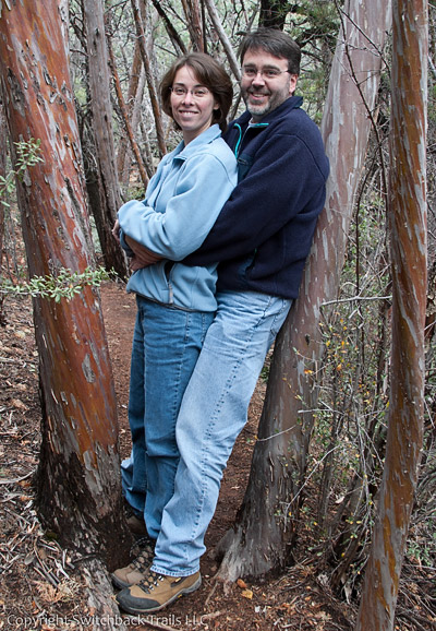
We have been active hikers since we met in the late 1980’s, mostly tramping about in our area or wherever we found ourselves when on vacation. A number of our vacations took us to the White Mountains of New Hampshire, specifically the Presidential Range around Mount Washington.
We also took up mountain biking in the late 1990’s, mostly riding Pocahontas State Park and Poor Farm Park in the Richmond area. After a number of years riding Poca and Poor Farm over and over again, we started looking for other places to ride but found that information was spread over many different websites with varying levels of reliability. There is nothing worse than driving a couple of hours to ride at a new location only to find trails that are way above your technical skill level, resulting in a day of hike-a-bike. We first started working on this site in 2008 with the goal of providing a one stop source of information about parks, maps, points of interest along with photos of things we felt helped others know what they were getting into before making the drive.
During the first incarnation of this site, we started mapping state and local parks in an ever-growing radius from our home. Over the ensuing years we mapped over 170 state and local parks in the Mid-Atlantic region. By mapping, I mean we used our Garmin GPS to record data for every trail and point of interest we could find. We also recorded trail names, descriptions, trail type and technical difficulty. We then edited all of that data to create a proper map that could then be used to generate tiles for use with Google Maps. We photographed features that we thought would help give the user a feel for what the park had to offer. To assist with the collection, aggregation and publishing of all of this data, we wrote a home-grown Geographical Information System to steam line this process.
As we started approaching 2015, a number of wonderful websites and mobile apps (like TrailForks.com and MTBProject.com) were available with much more information using a crowd sourced approach. Crowd sourced data can be somewhat inconsistent, for example “is that a difficult trail or double black diamond trail?”. That said, it still provided park information on a nationwide level instead of our site which was regional. We also found ourselves driving 4 to 5 hours to find new places to ride, which, after a while started getting old. In early 2016 we took our website down because it stopped being fun.
In late 2023, I decided to resurrect this site as a retirement hobby project, reusing some of the park data we collected but with a few twists:
- Expand my software development skills, specifically targeting mobile application development using Xamarin, .NET Core on Linux and Postgres with GIS extensions
- Move off of our home-grown GIS and onto OpenStreetMaps for all geospatial data
- Get us back out exploring new parks
- A platform to blog about some of our other hobbies and activities
From time to time, we will be publishing articles related to our various activities, which range from mountain biking, hiking, woodworking, quilting, photography and software development. We plan to continue visiting/mapping new parks and refreshing the maps for parks we've already visited.