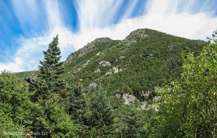
Presidential Range - Mount Washington
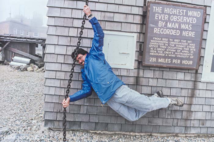
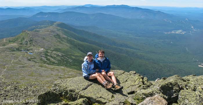
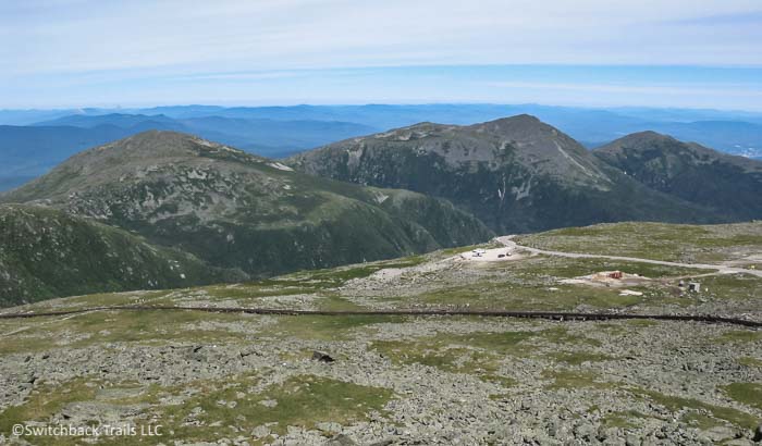
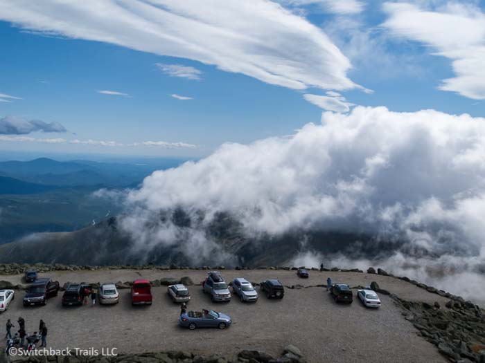
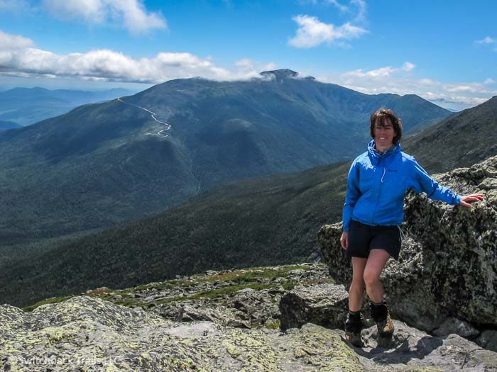
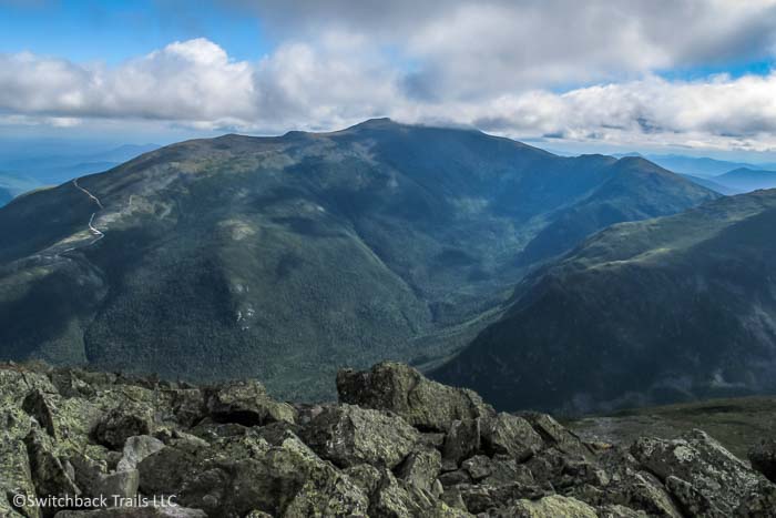
Named for presidents and public figures of the United States, the mountains of the Presidential Range are located in the heart of New Hampshire's beautiful White Mountains with the highest and most famous peak being Mount Washington, coming in at 6288 ft. It is home to the highest wind speed ever recorded on the planet, 231 mph. This peak houses a research station run by The Mount Washington Observatory, a non-profit organization that dedicates itself to climate and weather research and education. The summit is accessible by the Mt Washington Auto Road, The Cog Railway, and by numerous picturesque hiking trails (the most rewarding and enjoyable way to get to the top!).
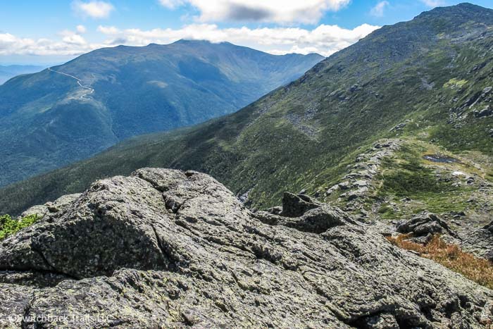
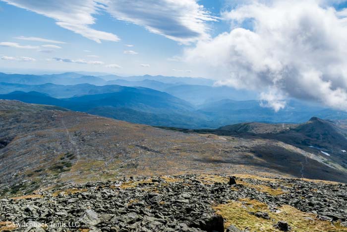
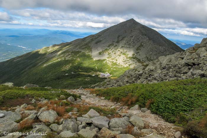
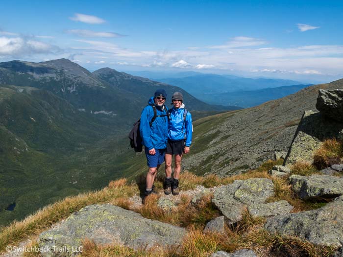
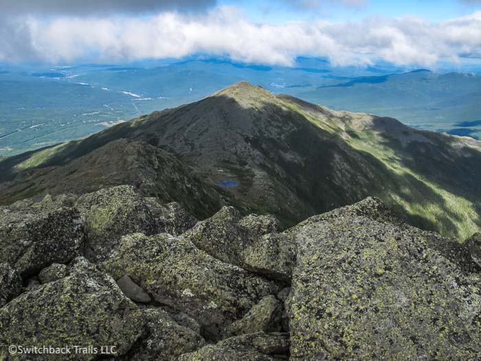
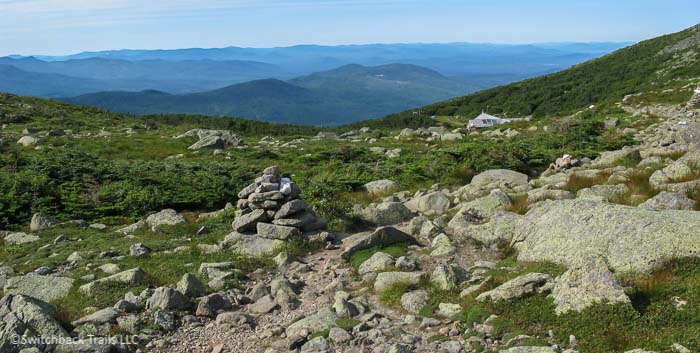
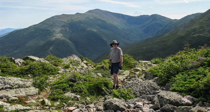
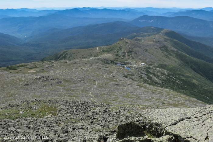
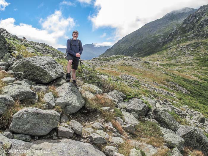
The Presidential Range has a network of over 100 miles of hiking trails that range in terrain from wide gently sloping trails through woodlands to steep, narrow, switchbacks. The trails on several of the highest peaks consist of rock-scrambling among car-sized boulders. Above tree line, 'cairns' (cone-shaped piles of rock) are placed several yards apart to mark the way. The Appalachian Trail follows Crawford Path and Gulfside Trail, which runs along the ridgeline. The views along this trail are among the most spectacular in the White Mountains.
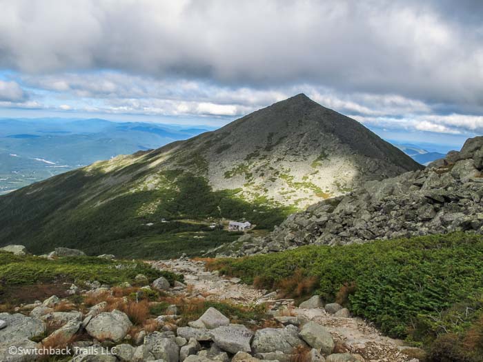
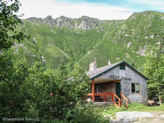
A very popular way to experience the Presidential Range is to go on a multi-day 'Hut to Hut' backpacking excursion. There are 8 huts along the range that are about 6 miles apart. Visitors can book consecutive nights at each of several of these huts and spend their days hiking from one to the next. These rustic, cozy huts are run by the wonderful people at the Appalachian Mountain Club (AMC) and have primitive, bunk-style sleeping arrangements. Dinner and breakfast, always delicious and plentiful, are included in the price of the stay.
The weather in the White Mountains can be quite unpredictable, even in summer. Care must be taken to have the right equipment on any hike, no matter how short the hike or how calm and sunny the weather is at the start of the day. In the Visitor Center on top of Mount Washington, there is a brass plaque with the names of those who perished on the slopes of the Presidential Range (similar list can be found here https://www.nhmagazine.com/mount-washingtons-fatalities/) – note the number who die during the summer months and how often hypothermia is the cause, these mountains play for keeps!
Before you set out, we highly recommend checking in at either Pinkham's Notch or Crawford Notch Visitor Centers (run by the AMC) to get trail recommendations and conditions from the staff and weather information for the day. Each of these locations also has a restaurant, lodging, and a store where you can buy hiking and back-packing equipment and trail maps. From whatever location you begin your hike, be sure to complete an entry in the log-book located at the trailhead, filling in your itinerary and emergency contact information.
